counter hit xanga
Photography | Scottish Landscape Art - Scottish Landscape Paintings - Part 2

Archive for the ‘Photography’ Category

A great weekend followed by a great walk

I can’t believe it’s Thursday again already …this last week has just flown by ….but perhaps that’s because it has been a good one.
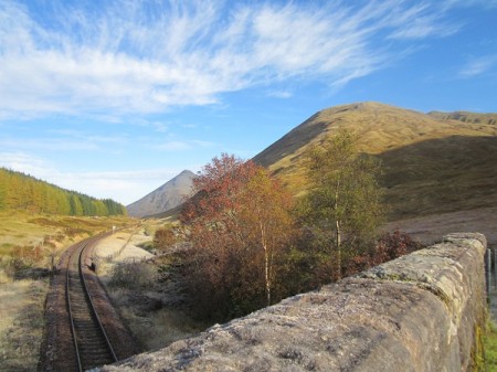
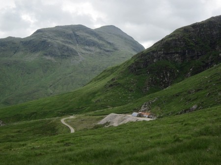
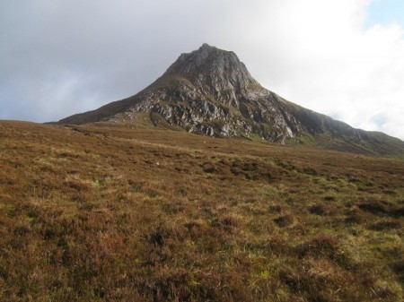
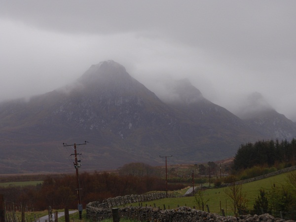
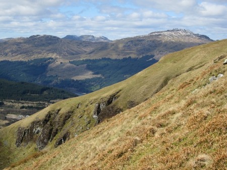
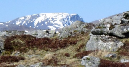
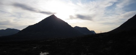
The lower slopes of Beinn Odhar from the West Highland Way

The lower slopes of Beinn Odhar from the West Highland Way

Our Open Weekend at the Courtyard Studios last Saturday and Sunday, proved a real success.  All the hard work that everyone had put into it, paid off and we had around 300 visitors over the course of the weekend.  We were, I have to admit, very lucky with the weather this year and instead of the rain and howling gales of last year we had two beautiful sunny days for the event.  The courtyard looked great with all the doors open this year and an added bonus was a newly repaired and painted table in the centre …..courtesy of ‘Jim the joiner’, a retired gentleman who makes stretcher frames for Margaret and who agreed to fix our courtyard table prior to the weekend……many thanks Jim.  I think everyone had a good time and there were certainly a few sales and a couple of commissions gained along with a lot of interest that will hopefully turn into sales over the next weeks, months or years.  There is already talk of perhaps doing another event during the lead up to Christmas ….we have a meeting next week so we’ll see what folk are thinking and take it from there.  Anyway, the biggest thanks for last weekend’s success must go to everyone who came down to the Harbour side and visited the studios ….I hope you all enjoyed yourselves.  Remember that visitors are always welcome at the Courtyard Studios, so do feel free to call in next time you’re passing.  You’ll have to take us as you find us ….these are working studios ….but that all adds to the interest.
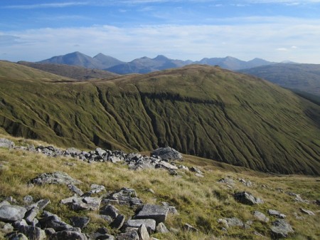
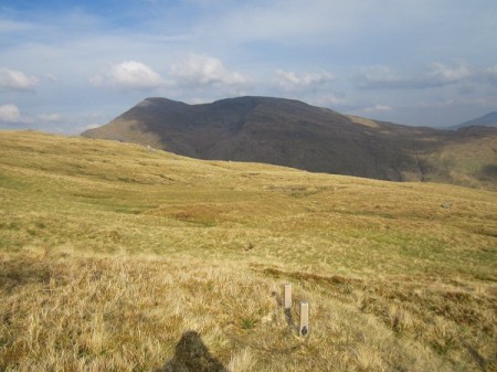
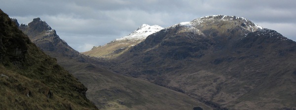
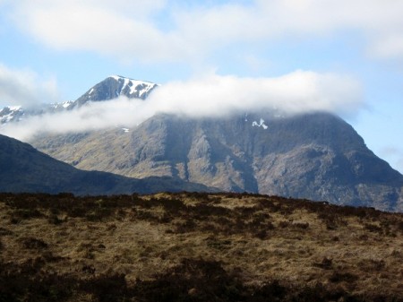
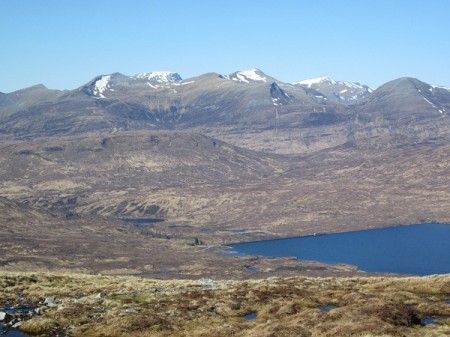
The Crianlarich Hills from the slopes of Beinn Odhar

The Crianlarich Hills from the slopes of Beinn Odhar

I must admit that by Monday I was pretty tired.  I was in putting everything back in its place and even did some painting in the afternoon.  The weather though was still good and the mountain forecast suggested 80% chance of a cloud free Munro.  With Nita working on Wednesday and the weather going wet again on Thursday we just had to catch ourselves a walk while things were so good.  We haven’t been out though for around five weeks ….when we were up on the hills above Glen Shee and so we didn’t want too big a walk …just something short but steep enough to get the leg muscles complaining!  Last week for my ‘Artwork of the week’, I showed a small painting based on a day we’d had on Beinn Odhar near Tyndrum …and this seemed the perfect hill for occasion.  It has the added bonus that you can leave the car in Tyndrum and have breakfast at the Green Welly before starting out and a cup of tea on your return!  Perfect.
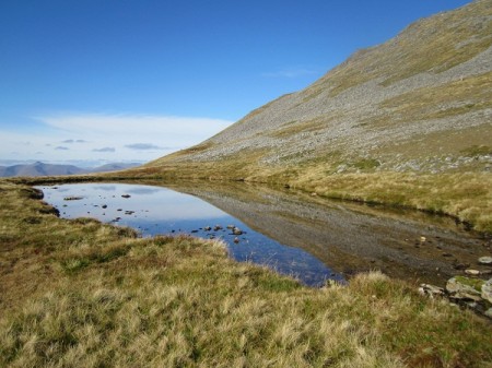
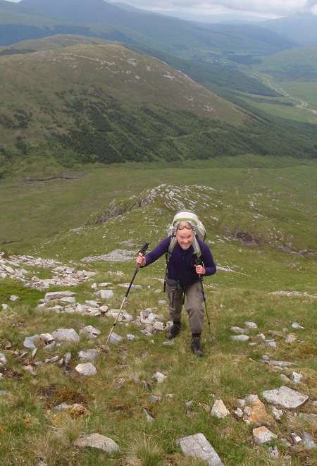
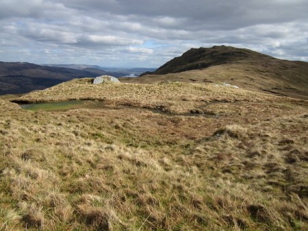
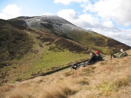
'A perfect spot for a snooze!'

‘A perfect spot for a snooze!’

There was a real feel of autumn in the air as we drove north with frost on the verges at the side of the road.  The colours on the hillside were particularly bright as the sun rose and caught the tops of the bigger hills.  The sky was completely clear and Loch Lomond looked stunning ….so good that we just had to stop at Inveruglas and take a few photos.  By the time we got to Tyndrum the sun was higher and the mountains looked very inviting …but not before a bacon roll and a cup of their excellent coffee at the Green Welly.
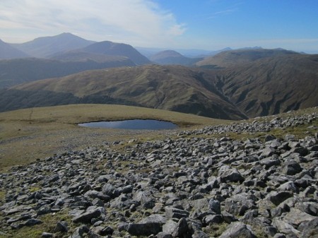
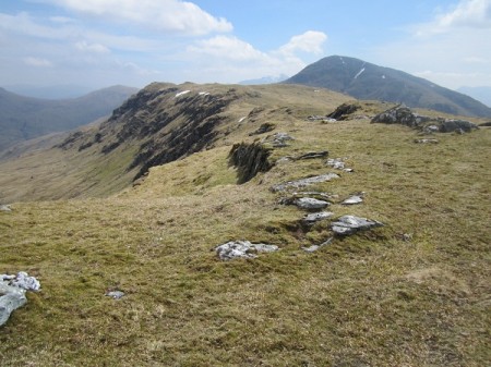
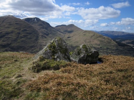
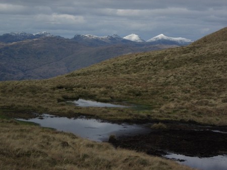
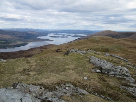
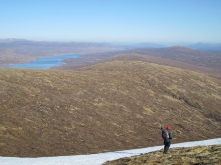
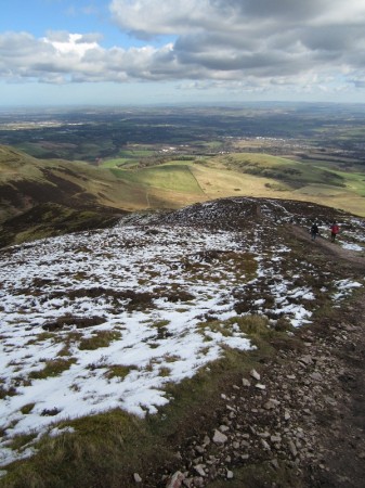
From near the summit of Beinn Odhar

From near the summit of Beinn Odhar

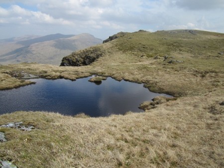
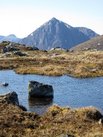
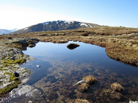
We started walking (heading north up the West Highland Way) around half past nine and after crossing the bridge over the railway line, we left the WHW and headed up the steep mainly grass slopes of Beinn Odhar.  It was hard work for my out of condition legs and I needed many regular stops (to admire the view of course) as we gradually gained height.  The views back to Ben Oss and Ben Lui were great and higher up you could see over the intervening ridge to Ben More and its neighbours.  It never ceases to amaze me when walking this hill that half way up you find the remains of an old mine …what a place to come and work.  There is still the start of an old shaft cut horizontally into the rock …but it must have proved fruitless because it only goes into the hillside a matter of a few feet.   Beyond this the ground eases and there is a tiny loch perched below the final steep and rock strewn summit.  It is remarkably beautiful here and so quiet.  In fact it was so peaceful that we decided to lie back and have a snooze for half an hour in the warm morning sunshine!  The final few hundred feet to the summit cairn is as I say, steep and strewn with stones, but it makes for a great final ascent and you arrive at the top with three hundred and sixty degree views.  On a day like Tuesday …this meant big views …he air was very clear and even I could see a fair way.  We spent more time sat at the top taking in the peace and quiet and listening to a couple of Ravens as they swooped overhead in the autumn sun.  This really was what was needed after a very busy month …back to the work now but we’re already planning the next outing.

Back to Beinn Chuirn ….ice free this time!

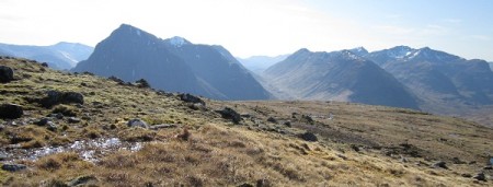
Ben Oss from just above the gold mine on Beinn Chuirn

Ben Oss from just above the gold mine on Beinn Chuirn

The last time we went to walk Beinn Chuirn, (in the winter a couple of years ago) we encountered difficult conditions ….well, for me they were anyway!  There was virtually no snow, but it had been very cold for quite a long period and so there was a lot of ice ….thick and black amongst the grass and rocks.  I was really struggling to see it and this made for very slow progress.  After several hours we were only a little over half way up and with the prospect of having to descend on this slippery ground, we decided to cut our losses and retreat.  It was disappointing but wise ….and we had checked out a very good route up the hill ….perfect for a return trip in more favourable conditions.

as we thought...it was steep

as we thought…it was steep

On Thursday last week, with a reasonable forecast, (well at least not torrential rain all day) we finally got to go back to Beinn Chuirn and complete our previously curtailed route.  Beinn Chuirn lies on the north side of Cononish Glen, opposite Beinn Dubhchraig and Ben Oss  ….and next door to its much larger neighbour Ben Lui.  It took us about an hour and a quarter to walk along the estate tracks to a point just short of the hill.  A large track leads uphill from Cononish Farm to the entrance of a now disused gold mine.  The tunnel entrance leading under the mountain is sealed but a set of tracks leads out and there are still sheds there …presumably when the price of gold rises they’ll start working again.

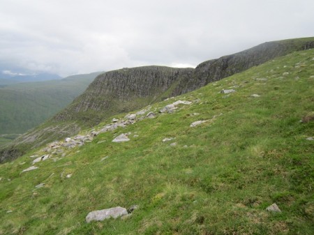
Overlooking the corrie, Beinn Chuirn

Overlooking the corrie, Beinn Chuirn

Anyway, our route led up into the dramatic and rocky little corrie and then steeply up by way of a grass and rock ridge until the broad easy angled upper slopes were reached.  It makes for an exhilarating walk, the ground dropping away steeply on both sides and behind you and as we reached the steepest section near the top I felt glad we had turned back the previous winter!  We were lucky this time though,  as despite the dark heavy clouds, the rain kept away and we had good views in what was very clear air.  The top of the hill is littered with boulders and strangely layered outcrops of rock ….very beautiful natural sculptures.   Beyond these was the summit cairn ….the perfect lunch spot with views of mountains in every direction.

 "Monarch of the Glen"

Being watched!

As we ate our lunch though, the cloud started to descend onto Ben Lui and it became pretty obvious that we were in for a soaking.  Our route back did a wide circuit down easy angled grass slopes before a final steep section led back to the track in the glen.  Some way below the summit though, Nita spotted that we were not alone on the hill.  Above us standing on the sky line was a large stag …watching us carefully.   Despite the rain the views were still dramatic  in the dark and gloomy light.   We were back in Tyndrum in time for a pizza at the Green Welly and back home in Irvine at the reasonably respectable time of nine o’clock.  Another great day in the Scottish Highlands and maybe even one that I’ll get a painting or two out of?

Seeing the best of Ben Nevis

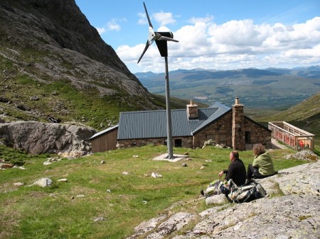
Ben Nevis CIC Hut

Ben Nevis CIC Hut

One of the most difficult things about painting the landscape is I think, working out how to convey how big everything is. Without a point of reference ….something man made, capturing the vastness of a moor or mountain can be very challenging. With my fuzzy sight, I have just as much a problem when I’m actually out walking in these wild places ….judging whether I have an hour to walk to reach the top of a crag, or five minutes, without the aid of a map, is tricky. Occasionally though, you go somewhere that just reeks its huge scale.

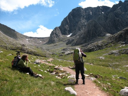
On Monday we went to just such a place ….the base of the North Face of Ben Nevis.

We walked this, Scotland’s and the UK’s highest mountain several years ago by the standard ‘tourist’ path and although I stood at the top, I never really felt quite how big this mountain was. On Monday though, I got the idea.

Ben Nevis North Face

Ben Nevis North Face

A very good path leads up through the forest before following the stream that flows out from beneath the great cliffs of the north face. Your first view is from a small view point created in the forest but at this stage it just looked to me like another mountain. Once above the forest line though I started to realise just how big a lump of a hill Ben Nevis is. I thought the first cliffs were quite near but as we continued to walk towards them I realised we still had a good distance to walk. As we got closer the dark crags grew bigger and bigger and what I had thought was a single line of cliffs, became a series of great buttresses and a deep corrie – Coire na Ciste. Tucked up at the head of the glen beneath this and complex face, is the CIC Hut. It has been very well built so that it blends in with its dramatic surroundings and it was to this that we were heading.

Our friend and walking companion Guy had in the past climbed a couple of the routes on the North Face and it was his idea that we walk up to the CIC Hut. He assured me that it would not be time wasted and that I just had to see and experience this magnificent setting …he also suggested that it would be an excellent place to do some drawing and painting. Well, I can’t argue, he got it right on all accounts! We sat gawping at the face, so big, so complex and so beautiful. On this occasion I just brought my camera but this is definitely a place to return on another fine day to sit and draw.

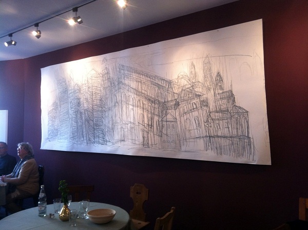
I’m not quite sure why, but walking up this magnificent glen underneath the North Face of Ben Nevis, reminded me so much of the time I spent in Speyer the other summer …walking around the massive cathedral there. Just like on Monday beneath Ben Nevis, I used to end up with a crick in my neck from staring up at its highest towers and buttresses trying to work out how it all fitted together and how I might do a drawing or painting of it. In the end, I solved the problem in Speyer by matching scale with scale …in other words doing a very large drawing …4.2 m long by 1.5 m high. As we stood, tiny against this great natural structure …the highest in Scotland, I remembered the Speyer drawing and started to ponder on whether I ought to attempt another …this time based on the North Face of Ben Nevis.

Dom drawing, Speyer

Dom drawing, Speyer

  ‘Photographs by Gjuy Hansford and Mike Lauter’

Back and busy

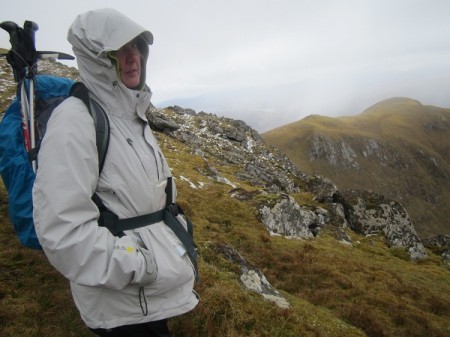
Anita near the summit of Ben Loyal

Anita near the summit of Ben Loyal

Well, as the title says, I’m back from Sutherland ….and it’s been a busy week.

Our holiday up north ended in grand style with our finally walking Ben Loyal on our last day.  It turned out to be a long day …eleven and three quarter hours to be exact and we got back to the car about a quarter past eight in the evening.  It was worth every minute though, despite it being another cold and for a large part of the day, grey affair.  We had the routine heavy snow shower at the top which we sat out, sheltering for about 45 minutes behind one of the huge rocks that mark the top of this wonderful hill.  After that we wandered along its broad summit ridge before finally descending from Carn Tionail and walking back to the car.  As I say, it was a long day and a lot of it over very rough ground.  It was amazing and when the sun finally came out in the early evening, it made for a perfect way to end the holiday.

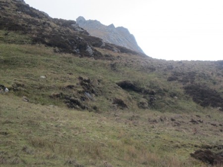
Rough ground below Ben Loyal

Rough ground below Ben Loyal

Evening sun, Ben Loyal

Evening sun, Ben Loyal

Of course, it’s been hot and sunny most of  the time since we returned to Irvine and so despite being pretty busy this week, we still decided to get out walking again …this time to walk a couple of hills in the Southern Highlands.  One of them, Cam Chreag (884 m), sits quite a long way off the road and so we’ve never visited it before.  The walk in to it though was along a good track and through some stunning scenery with the Munro Ben Challum rising steeply above us on the other side of the glen.

Like many of the hills in this area, Cam Chreag is a mainly grass covered hill in the form of a long broad ridge.  The ridge is littered with small crags and rocky outcrops.  By the time we gained this height it was a very warm and sunny day …the early morning cloud having disappeared to leave a hazy and hot landscape.  It was so peaceful up there, no other walkers and far enough from any road to be perfectly quiet …and we had time enough to lie down in the sun and have a kip for almost an hour …perfect.  The route back took us over a neighbouring hill Beinn Chaorach ….another high grass covered ridge offering easy and relaxing walking.  It turned out to be another long day though …almost eleven and a half hours this time and in the heat we were both pretty tired.

Ben Challum from Beinn Chaorach

Ben Challum from Beinn Chaorach

On Cam Chreag

On Cam Chreag

Ben Challum from Cam Chreag

Ben Challum from Cam Chreag

Apart from the walk, this week has been one of painting and delivering and collecting paintings.  On Wednesday we popped down to the Waverley Gallery in Prestwick to collect four of the new small postcard sized paintings that they were framing for me.  Then up to the Dick Institute in Kilmarnock to collect the paintings that had been in the ‘Six into 12 plus Hornell’ exhibition.  Today we’ve been up to the Blairmore Gallery near Dunoon to deliver some new paintings and collect some old ones.  It was another hot day and the drive along the Firth of Clyde and the short hop on the ferry over to Dunoon, was very enjoyable.   Tomorrow we’re heading up to The Strathearn Gallery in Crieff to deliver five paintings for their forthcoming ‘summer exhibition’. ….Full details to come.

Finally, just to let you know that a number of the artists at the Courtyard Studios in Irvine will be holding an informal ‘Open Studios Weekend’ on Saturday / Sunday 2nd / 3rd June, as part of the Irvine Harbourside Cultural Festival.  There are a lot of events being organised at venues along the harbour so it should make for an interesting few days.  Our studios will be open:

Saturday 2nd June,11am – 5pm

Sunday   3rd June, 12 noon – 5pm

Entry as usual is free.

Artists taking part include, Alison Thomas (painting), Anita Groves (ceramics), Margaret Carslaw (painting), David Reid (painting), Sheila Kerr (jewellery), Chick McGeehan (painting), Brian Craig (painting & photography) and myself, Keith Salmon (painting).

So then, if you live in the region why not head down to the harbour side in Irvine that weekend and call into the Courtyard Studios …it is a great opportunity to see and buy the latest work.

NE Sutherland Blog – part 2

Ben Griam Beg from the start

Ben Griam Beg from the start

Like all holidays, this one seems to have flown by and we are already on our penultimate day. Unlike a good few of our recent May holidays in North West Scotland, when it has been fine and warm, this year, it’s been quite wild and very cold for the whole of the two weeks. That said, I think we have seen a bit of the sun most days (in between heavy rain and snow showers) but what sun there has been hasn’t threatened to burn my increasingly balding head… the sun hat was removed from the rucksack at the start of this week.

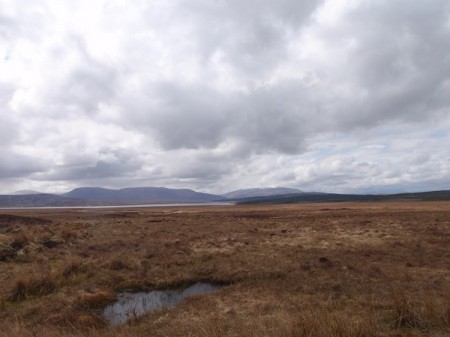
Flow Country

Flow Country

We had just such a day yesterday, when we drove south into the Flow Country to walk Ben Griam Beg. Last weekend we had tried to walk this hill and its neighbour, Ben Griam Mor together, but after walking the latter, we were unable to get over to Ben Griam Beg – a rather over full small burn stopping our progress. Yesterday, we approached the hill from a different direction, thus avoiding the problem stream. We left Kips Cottage in bright sunshine but as we arrived at our start point the sky became very dark and the temperature dropped several degrees and it started snowing.

Snow arriving, Ben Griam Beg

Snow arriving, Ben Griam Beg

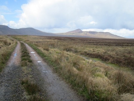
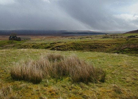
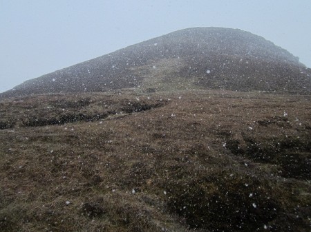
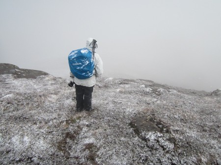
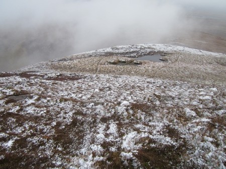
After waiting for about half an hour the skies lightened and we set off before Nita could eat all of her sandwiches! The first part of the walk, across the open, flat bog, was along a dirt track leading to a remote little house, perched beneath the hill. The sun came out on several occasions as we walked through this wild landscape and with the big skies and the bright colours, I think I should have plenty of new material for future paintings. Beyond the cottage, it was simply a case of striking uphill, to reach the long, broad stone and heather covered ridge and then up the final few hundred feet of steep ground to the summit. Easy really, but then the skies darkened again, the wind picked up, and we found ourselves walking into quite heavy snow. Thankfully, there were a few spots to shelter and we sat with our backs against a rock for half an hour or so until the snow eased and the thick cloud lifted. We set off again, but almost immediately walked into another heavy snow shower, but carried on regardless, as we clambered up the final steep slopes. It was exceedingly cold and very quickly the ground was turning white.

Retreating from the top

Retreating from the top

Stood on this lonely little summit in these conditions made me realise that despite its modest height of 580 metres, this was quite a serious hill walk. Ben Griam Beg is, according to the guide books, the site of Scotland’s highest hill fort and remnants of the walled enclosure still exist but with the snow still falling and no sign of a let up, we decided rather than looking for the fort, it might be more prudent to head back down. Of course, half an hour later, the snow stopped and the cloud lifted, so another year we may have to come back and search out the fort.

Breaking cloud, Ben Griam Beg

This was a proper mountain walk and made for a great day. Recommended.

East Sutherland Blog – part 1

Ben Loyal from Kyle of Tongue

Ben Loyal from Kyle of Tongue

We’ve had an interesting few days in East Sutherland. We have been staying in Kips Cottage, in Kirtomy – a small community perched on the north coast.

We have had a great mix of weather since we arrived last Saturday, bright sun, heavy rain and even snow – real May conditions. As I type this (Nita’s doing the typing really – I can’t feel the keys on the laptop!) it is blowing half a gale, but there are some bright skies around now.

We had planned to go back to Ben Loyal today, having turned back in cloud and quite heavy snow on Tuesday, when we were just half an hour from the top. We didn’t get as far today! It was raining hard when we got up and we had hoped the brighter conditions would arrive by the time we got to the start point for the walk…but they didn’t. A lot of water had come down overnight and the streams were fairly whooshing along and it seemed unlikely that we’d even get further than the small river immediately below the hill. We crossed this easily on Tuesday but in spate, as it would have been this morning, it would have been difficult. So then, after sitting in the car listening to the rain and drinking our flask of coffee, we decided to call off and do something else today. Typically, as we drove the forty minutes back from Tongue to Kirtomy, the rain eased and the first patches of blue sky came in from the north. I cursed, but Nita reminded me we still wouldn’t have got across the river.

The Flow Country

The Flow Country

On Wednesday, we drove along a small, single tracked road out across the heart of the Flow Country. It really is quite amazing, such a large, empty area of bog. To the west we had great views of the snow topped, higher mountains, Ben Hope, Ben Klibreck and Foinaven. Our aim though, was to check out two smaller hills that rise out of the bog, Ben Griam Mor and Ben Griam Beg. They are both just below 600 metres high, but should offer huge views all around across this wild and lonely landscape. We found the start point and even a small place to park the car and we are heading there first thing tomorrow morning, in what is forecast to be better conditions.

Ben Loyal emerging from this mornings deluge

Ben Loyal emerging from this mornings deluge

With the wind still blowing hard and cold outside, this might be an afternoon for lighting a fire and sitting in front of it with our books and a glass of beer!

A big little walk

Doune Hill from the slopes of Tullick Hill

Doune Hill from the slopes of Tullick Hill

One of the things I love about Scotland is that however well you think you know an area ….there is always something new to explore tucked away around the corner…..it’s great. Glen Douglas is just such a place. It runs from the western shores of Loch Lomond over to the eastern shores of Loch Long and a small single track road runs along its length connecting it to the main roads at either end. For year’s we’ve been driving past the end of this little road heading for other glens, or other hills and we’ve never really noticed or thought about it. On our annual visit to walk Beinn Dubh and Mid Hill however, we do, albeit briefly, get a view down into Glen Douglas …but that’s all we’ve ever seen of it ….until last Sunday that is.

On Tullich Hill

On Tullich Hill

The three hills to the north of Glen Douglas have not been completely out of mind though. I did a short winter walk with my friend Guy about ten years ago ….from Tarbet up steep slopes to the summit of Ben Reoch and it did make me realise what a great view point this group of hills made …especially of the Cobbler and its neighbours. So then, last weekend we decided to go and walk all three of these hills to the north of Glen Douglas ….making an interesting and quite strenuous little day.

Turning off the A82 just beyond the Inverbeg Inn, we were immediately impressed by how quiet and beautiful the glen was….a real little hidden gem. Indeed, in the bright spring morning light …well it looked stunning ….and these very modest hills somehow looked much bigger and more dramatic. The circuit we planned to do took in Tullich Hill, Ben Reoch and Beinn Bhreac, starting and finishing at Invergroin.

The Arrochar Alps from Tullich Hill

The Arrochar Alps from Tullich Hill

Access to the open hillside can be gained through a gate just beyond the bridge at Invergroin and from there it’s simply a case of making your way, at first, gently and then more steeply up the very obvious SE ridge of Tullich Hill. We’d only gone a very short distance when Anita spotted a very large bird …with several small birds following it. I barely saw it but Anita watched it for quite a while with a monocular and she was happy that it was a Golden Eagle she was watching ….a great start to the day. About half way up the ridge a small band of crags appears, but a steep band of grass leads through them and onto easier angled ground. Beyond this the ridge is a little more defined with the ground falling away steeply on your left with increasingly impressive views across to Doune Hill, Loch Long and as the ground eases as you near the summit, all the way to Arran and Ailsa Craig beyond. It’s a steep little climb and we were well glad of a sit down, sheltering from the cold wind behind a rock and just taking in the beauty and quietness of our surroundings.

The North Peak of the Cobbler, Beinn Ime and Beinn Narnain from An t'Sreang

The North Peak of the Cobbler, Beinn Ime and Beinn Narnain from An t'Sreang

Our next objective was the slightly higher top of Ben Reoch (661m) about 2km to the north east of us. To get there though is no easy stroll ….it involves descending just under 300m to the wild little col of An t’Sreang and then climbing very steep slopes to regain the height …plus a little, in order to reach the next summit. The views across to the Arrochar Alps were superb all the way. The Cobbler and Beinn Narnain had a little snow on them but their bigger neighbour Beinn Ime had a good covering and looked very dramatic against the now darker and mainly cloud covered sky. Near the top of the steep slopes my legs started to cramp and I made an undignified slump to the turf to wait for it to clear. It gave me a good chance to moan ….but then I remembered the views and forgot for a short while, about my complaining legs!

North from Ben Reoch

North from Ben Reoch

As you reach the small cairn marking the top of Ben Reoch, the views in the other direction really open up. The ground drops away in front of you and you can see for many miles up and down Loch Lomond. Across the water is Ben Lomond and to the north east the easily recognisable snow covered summits of Ben More and Stob Binnian.

Towards Beinn Bhreac

Towards Beinn Bhreac

By now it was about half past three and we still had quite a way to go across to our final summit of the day …Beinn Bhreac at 681m. Thankfully there isn’t another steep descent and climb between these two hills, just a gentle loss of height and a wander along a broad gently rising ridge. The final few metres are topped with small crags and the trig point sits atop a prominent little knoll high above Loch Lomond. It’s a lofty little spot and a great end to a fine circuit. The descent on steep grassy slopes back to Invergroin was easy albeit a little long winded ….with me going at my normal snails pace …but the views were still fine and as we got lower the late sun came out to give a bit of warmth and finish the day in style. We were tired though …we’d been walking for just on nine hours …..and as I said …there was quite a lot of up …and down ….Nita’s quote of the day as we walked the half kilometre back along the wee road to the car, ‘I’ve got legs like those of a rubber chicken!’ I knew how she felt …only thing for it was to head to the Inverbeg Inn for some much needed food.

Loch Lomond from the summit of Beinn Bhreac

Loch Lomond from the summit of Beinn Bhreac

-0-0-0-0-0-

Back! A short picture blog

Loch Lomond1. I’ve just got back from a few days away doing some walking.  I was staying with a few friends in a lodge on the east shore of Loch Lomond at a place called Rowardennan.  This is the view across the loch from near our lodge.


2. Perfect weather for a walk up the Cobbler …or Ben Arthur….but like us, many folk were drawn to its rocky heights.


3. We met up with a couple and their dog at the base of the final steep section …they asked if they could follow us …little did they know they were following a chap who couldn’t see very much and another (my friend Mervin) who hasn’t got a head for heights!  Thankfully we were all following Nita!


4. This is a very impressive hill especially when you get up in amongst it’s rocky peaks.


"The Cobbler"

5. To be able to say you’ve climbed the Cobbler you should actually clamber up this final pinnacle.  Suffice to say that I’ve never climbed the Cobbler …just got to the point immediately below its summit ….like many others I imagine!


6. After stumbling about three quarters of the way up the ‘tourist’ path on Ben Lomond we decided we’d had enough of the uneven and rubble strewn path and headed off across the moor.  We aimed for some small craggy hummocks just below the south end of Ben Lomond…this is a view back to the big hill.


7. Our walk took us south from Ben Lomond across a mix of grass, bog and heather.  We were well off the main paths and the peace and quiet was wonderful…..just the occasional sound of birds and passing bugs and the trickle of small streams running through the peat.


8. On the Thursday we had a gentle walk up Conic Hill.  The West Highland Way passes around its flanks and a short detour takes you to its grass and heather covered summit.  It’s a fine view point situated as it is at the very southern edge of the Highlands and overlooking the southern end of Loch Lomond.


9. We were so lucky with the weather last week …every day being dry with almost clear skies and bright sunshine.  We saw some great views and some amazing colours …lots to think about and remember.  This is the view overLoch Lomond from the path on Conic Hill.

Spring is here…

 Criese breaking clear of the cloud

Criese breaking clear of the cloud

I always know when spring has arrived ….it is the first day of the year when I go walking…and end up with a sun burnt forehead!  Yesterday was just such a day and the sun block has now been added to the rucksack…..a little late admittedly but at least I’ll be prepared the next time we go out in the sun.

In fact, it didn’t seem like we’d even need sun glasses when we arrived at the parking spot on the A82 between Buachaille Etive Mor and Beinn a’ Chrulaiste ….there was a heavy layer of cloud shrouding all the summits.  That said however, we had set out from Irvine two and a quarter hours earlier under clear skies and only ran into the cloud as we got to Loch Lomond.  Even as we put the boots on and added another layer against the cold easterly wind, a feint glimmer of sunlight appeared and so we had high hopes for better things to come.  Quite just how much better though we’d never have imagined.

Buachaille Etive Mor from Meall Bhalach

Buachaille Etive Mor from Meall Bhalach

We’d been wanting to revisit Beinn a’ Chrulaiste for a while …it’s in a great location, placed as it is between Rannoch Moor and at the heads of Glen Etive and Glen Coe.  In the past though we’d either failed to get to the top and / or the weather had been dreadful.  On the one occasion we did make the cairn and trig point marking its 857m summit (after an ‘interesting’ scramble up the Pink Rib, we’d caught only a glimpse of the fine view before the cloud, sleet and wind arrived again and we had to scuttle back down to the car in the gloom.  On that occasion though, the glimpse did allow us to see the broad curving ridge leading off at first in a north easterly direction and then east over the gentle hummocks of Meall Bhalach.  From that point on I’ve often thought that this would make a fine circuit of this hill …and I wanted to come back and do it on a fine day.

Beinn a' Chrulaiste from Meall Bhalach

Beinn a' Chrulaiste from Meall Bhalach

This was it and we started by walking the old road the couple of kilometres to the Kings House Hotel and then carried on along the estate track marked with a sign post saying ‘Footpath to Rannoch – 12 miles’.  This track led roughly in the right direction for us but after another couple of kilometres we abandoned it and headed across the bog, making for the low end of the Meall Bhalach ridge.  It was hard work picking our way through and over this very rough and boggy ground but as we did, the cloud all around started to lift and break and we got our first views of the dramatic summit of Criese breaking clear ….it looked very dramatic with the large patches of snow on its highest slopes.  The Buachaille though, along with our more modest summit, remained defiantly cloudy.  As we gained height though the cloud became less and more broken and the bright sun and blue skies began to take over.

Ben Nevis from Meall Bhalach ...with a bit of zoom!

Ben Nevis from Meall Bhalach ...with a bit of zoom!

The long summit area of Meall Bhalach is flat and stony and is littered with small lochs, each one now reflecting the blue sky above.  The Buachaille finally shed its cloudy toupee a short while before we reached this top and the views from this point onwards were just incredible.   To the north and east lay the huge Blackwater Reservoir and Rannoch Moor, west the snow topped peaks of the Mamores and behind, the bulk of Ben Nevis.  South, we looked across to the steep craggy slopes of Beinn a’ Chrulaiste …the edge marked by the brilliant white …the remains of cornices.  Behind this, the dramatic peak of Stob Dearg (the north eastern summit of Buachaille Etive Mor) rose into the sky, its huge crags dropping out of sight behind Beinn a’ Chrulaiste.  Wow, what a place to stand..and it was so silent, we couldn’t even hear the traffic down on the main road.

Lunch spot ..overlooking the Blackwater Reservoir dam

Lunch spot ..overlooking the Blackwater Reservoir dam

We spent a long time just wandering around this top, peering into all the wee lochs, many of them teeming with frogs and beetles ….all seemingly awake again after the cold of the winter.  Just below the  small cairn marking the 708m summit of Meall Bhalach, we stopped for half and hour or so and just enjoyed the warm sun and the huge views out to Ben Nevis.  As we did, I heard very faintly, the honks of approaching geese.  They were flying north for the summer and as we sat and waited, they appeared high above us, their white plumage catching the sunlight. They were a talkative bunch and we could hear them long after they disappeared from view …aiming just to the left of Ben Nevis ….perhaps, like all groups out in the wild …they were having a difference of opinion as to which way to go!

A wild and beautiful country, NE from Beinn a' Chrulaiste

A wild and beautiful country, NE from Beinn a' Chrulaiste

Beyond Meall Bhalach, the ridge curves and rising to join Beinn a’ Chrulaiste.  We followed this, picking our way through a more rocky section before getting onto the main back of the hill.  From here the views opened out even more …this time looking out over the magnificent peaks of Glen Coe.  More sitting and gawping ensued at the summit cairn before at just after three o’clock, we decided we’d better make our way down.  For the most part it was a relatively easy descent on steep grass, but there were some steep and stony sections, slippery too with all the water draining into the moor below.  I’m always at my slowest when descending, but even so we were back at the track by the hotel by just after five thirty…just in time to see the sun go down behind the Buachaille ….the perfect finish to a perfect day.

The glen Coe mountains from Beinn a' Chrulaiste

The glen Coe mountains from Beinn a' Chrulaiste


The Buachaille, evening

The Buachaille, evening

0-0-0-0-0-0-0


The Pentland Hills 2 – from Turnhouse Hill to East Kip via Carnethy Hill and Scald Law …..a grand little day out!

From Turnhouse Hill - the route ahead

From Turnhouse Hill - the route ahead

Following the previous weeks retreat in the face of gale force winds on the Pentland Hills we were determined to get back at the first opportunity. This opportunity arose on Monday with fine weather forecast and on this occasion, our friend Guy with nothing else arranged for that day.

Once again, there was no real rush to get away at the crack of dawn and so we arranged to meet him at Irvine station at eight o’clock Monday morning. The skies were clear blue and stayed that way the whole journey to the start point at the Ranger Centre at Flotterstone. The countryside looked wonderful again but this time thankfully there were no high winds to spoil it. As we got close to the Pentlands Nita and Guy spotted a light covering of snow on the higher slopes …nothing much, but enough to make the scene even more beautiful.

Carnethy Hill - photo by Guy Hansford

Carnethy Hill - photo by Guy Hansford

Our first hill of the day was Turnhouse Hill, the place we’d been forced to retreat from on our previous visit. This time, on reaching its eastern end, we could stand and enjoy the magnificent views all around. Below us we could see part of the Glencorse Reservoir …around which we’d walk on our way back to the car later in the day. Ahead of us we could see each of the three other tops we were planning to visit, Carnethy Hill, Scald Law and East Kip ….each one with a white shading of snow on its north facing slopes.

This time we ambled along the broad grassy ridge of Turnhouse Hill and on descending into White Craig Heads, (the col between Turnhouse and Carnethy hills) we stopped and sat down in the bright sun. It was a magnificent spot with the bulk of Carnethy Hill rising in front of us. With its steep northern slopes in shadow and a good scatter of snow still lying, it looked a good deal more imposing than in reality it was.

From Carnethy Hill

From Carnethy Hill

A large well made path leads up onto the wide stony summit of Carnethy Hill at 573m. Even on this relatively calm day, it was a cold place to stand even in the sun and so after a few photos we kept on ….now descending grassy undulating slopes leading towards Scald Law. By this time cloud had bubbled up creating a patchwork of light, shade and changing colours across the landscape. Scald Law, rising to 579 m, is, by a few metres, the highest point in the Pentland Hills. On reaching its summit (after checking with Guy that his leg was feeling fine) we had the customary handshake ….…it seems like he is back in business! After another sit in the sun while pawing over the maps to agree on a line of descent from our next and final top East Kip, we donned the rucksacks and carried on. The final little climb to the top of East Kip is surprisingly steep, but it is a great view point and well worth the effort. The neighbouring West Kip was not much further on, but we decided it was time to start heading back.

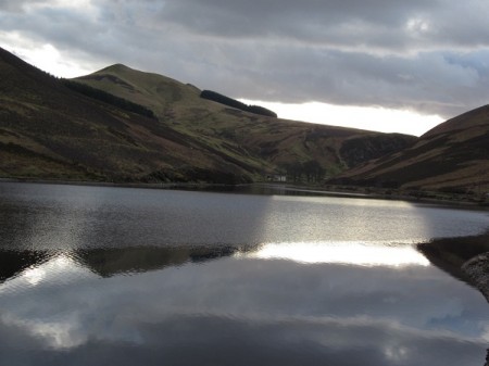
East Kip from Loganlea Reservoir

East Kip from Loganlea Reservoir

We descended easy grass slopes down into the glen on the north side of the hills we’d been walking, picking up a path next to the beautiful Logan Burn and following it a short distance to the head of the metalled road at the western end of the Loganlea Reservoir. It’s a lovely location and on this day the water was calm enough to give some wonderful reflections. Beyond, the wee road follows beside the small outflow stream for a short distance before reaching the Glencorse Reservoir. In the now late afternoon sunshine, the colours of the surrounding hills made for spectacular reflections and further stops to take photos.

We got back to the car about twenty past five in the evening and after changing out of the gear we headed for the Flotterstone Inn ( www.flotterstoneinn.com ) for a meal. It’s a friendly place serving great food and beer …definitely to be recommended! There was still a little light in the sky at seven o’clock when we left and headed back to North Ayrshire …I love this time of year when the days are getting longer ….. and we can plan longer walks.